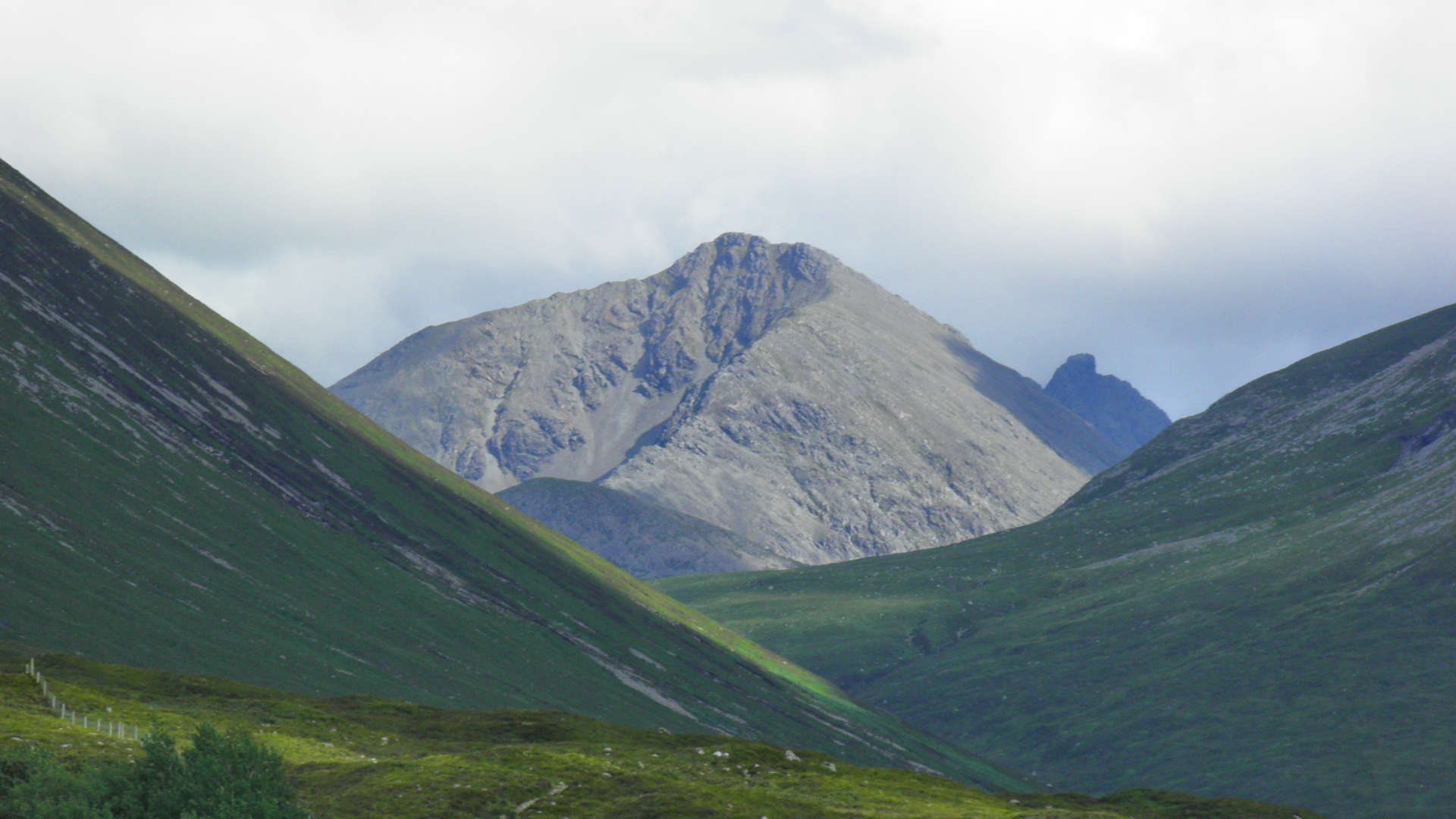
Belig and Garbh-Bheinn
Routes up rough Corbett and Graham in the Red Cuillin of Skye
The Isle of Skye has other superb peaks away from the Black Cuillin and these two hills are wonderful examples of this. The pair rise above the ground between the inlets of Loch Slapin to the south and Loch Ainort to the north.Main route summary

Map base ©OpenStreetMap
Although the hills are linked to nearby Marso and Blaven via connecting ridges, it is more practicable to do them just as a pair in a fine circuit from the head of Loch Ainort.
Both summits give superb views of the surrounding area and peaks and the route described requires little effort and only occasional scrambling higher on Garbh-bheinn.
| Corbetts | Garbh-bheinn (806m) |
| Grahams | Belig (702m) |
| Ascent | 1125m (3,690ft) |
| Distance | 9km (5.5m) |
| Time |
walk : 4:10hr*, running : 2hr *Naismith's rule : 4km/h distance + 600m/h ascent |
| Start/finish |
Head of Loch Ainort
(grid ref : NG534268) |
| Profile | ||||
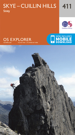
| Maps |
The map images above link to items on Amazon.
A small commission is earned on any map purchased which helps fund the operating costs of this website. More information on maps is on this page
|
|||
| Downloads |
Information on GPX files is on this page.
|
|||
| Terrain |
| |||
| Navigation |
| |||
| Effort |
| |||
| Scenery |
| |||
| Meanings |
Garbh-bheinn : 'rough hill'
Belig : 'Birch bark or thick-lipped'
|


